
Maps & Spatial Data Overview
Maps and Spatial Data are maintained by the Geospatial Technology Section (GTS) at IDWR. The GTS leverages capabilities in Geographic Information Science (GIScience), remote sensing, database development and management, software development, and web development, to provide innovative, accessible, and verifiable geospatial products to help solve Idaho’s water resource issues.
GTS Support & Work
GTS staff tend to specialize in one of four primary areas, but have responsibilities in all areas. These areas are Applications, Data, Remote Sensing & Operations.

Applications
Custom GIS application development and support reliant on programming and scripting, including custom APIs and widgets used in mapping applications.
Data
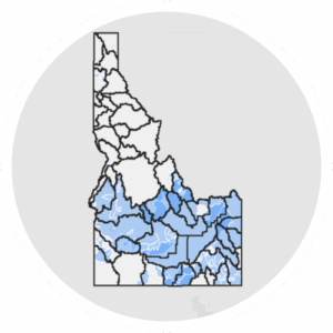
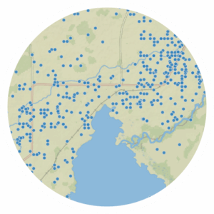
All things Data! Including developing, curating, procuring & manipulating data necessary for IDWR business and the databases and data stores to hold the data.
Remote Sensing
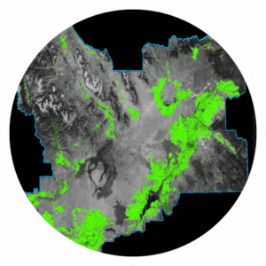
Raster-based analysis and modeling. Examples include developing Evapotranspiration data and irrigated lands classifications.
Operations
Administration of IDWR’s AGOL & ArcGIS Enterprise including access, licensing, and management of web services and the maintenance of websites that serve IDWR’s data, maps, and applications to IDWR staff and the public.
Idaho Transverse Mercator Projections
A Single Zone Coordinate System for Idaho
There are two single zone projected spatial reference systems commonly used in Idaho referred to as IDTM27 and IDTM83.
The original Idaho Transverse Mercator coordinate system (IDTM27) was defined with the North American Datum of 1927. In 2003, it was redefined to use the North American Datum of 1983 creating IDTM83. House Bill No. 425 (2010) modified Title 55, Chapter 17, Idaho Code to include The Idaho Coordinate System of 1983, single zone formally recognizing IDTM83. IDTM83 was incorporated into the EPSG in 2018 and assigned the EPSG Code 8826.
The majority of the data served publicly by IDWR is projected using IDTM83.
The Need for a Single Zone Coordinate System
The commonly used spatial reference systems of Universal Transverse Mercator (UTM) and Idaho State Plane (ISPCS) divide Idaho into numerous zones. This was particularly undesirable before modern GIS software had the ability to accommodate display of multiple projections in a single map view. For display and analysis of large datasets, the data would need to be reprojected from one zone into another, leading to inconsistencies and at times degrading the positional accuracy of data. There were also cartographic difficulties of using multiple zone data in a single map. These difficulties inspired the development of the Idaho Transverse Mercator projected coordinate system.
Even with software packages being better able to use data in multiple projections, a single zone is still needed today. Location data for natural resource uses are often collected regionally and rarely is a UTM or ISPCS zone used as a project boundary. This need has been recognized by the National Geodetic Survey (NGS). In developing the State Plane Coordinate System of 2022 (SPCS2022), based on the North American Terrestrial Reference Frame of 2022 (NATRF2022), the NGS and the Idaho Geodetic Control Technical Working Group, developed a single “statewide” zone for Idaho. In anticipation of changes resulting from NATRF2022, Senate Bill No. 1011 (2021) was introduced modifying 55-1701 Idaho Code to define Idaho Transverse Mercator (IDTM) to be the statewide mapping projection, and any successor system, specific to the state of Idaho maintained by the NGS.
As of April 2023, NGS has yet to release SPCS2022 and the associated new statewide single zone system. For updates on the status of SPCS2022 and NATRF2022, please visit the NGS New Datums website.
Idaho Transverse Mercator Projection Parameters
The following table lists the commonly-used projection parameters for Idaho GIS data. In addition to the data below, please review the ITA Projection Standard (S4210).
| Idaho Transverse Mercator (IDTM83) | Albers Equal Area | Lambert Conformal Conic | Universal Transverse Mercator, Zone 11 | Universal Transverse Mercator, Zone 12 | Idaho Transverse Mercator (IDTM27) | |
|---|---|---|---|---|---|---|
| Projection Name | PROJECTION TRANSVERSE | PROJECTION ALBERS | PROJECTION LAMBERT | PROJECTION UTM | PROJECTION UTM | PROJECTION TRANSVERSE |
| Units | METERS | METERS | METERS | METERS | METERS | METERS |
| Zone | Zone 11 | Zone 12 | ||||
| Datum | DATUM NAD83 | DATUM NAD27 | DATUM NAD27 | DATUM NAD27 | ||
| Projection specific parameter values | PARAMETERS | PARAMETERS | PARAMETERS | PARAMETERS | ||
| 1st standard parallel | 43 30 00 | 33 00 00 | ||||
| 2nd standard parallel | 47 30 00 | 45 00 00 | ||||
| Scale factor at central meridian | 0.9996 | 0.9996 | ||||
| Central meridian | -114 00 00 | -114 00 00 | -114 00 00 | -114 00 00 | ||
| Latitude of origin | 42 00 00 | 41 45 00 | 42 00 00 | 42 00 00 | ||
| False easing | 2,500,000 | 0.0 | 0 | 500,000 | ||
| False northing | 1,200,000 | 0.0 | 0 | 100,000 | ||
| Vertical Datum | NAVD88 |
National Hydrography & Watershed Boundary Datasets
The National Hydrography Dataset (NHD) is a comprehensive set of digital spatial data that contains information about surface water features such as lakes, ponds, streams, rivers, springs, and wells. The Watershed Boundary Dataset (WBD) defines the areal extent of surface water drainage to a point, accounting for all land and surface areas.
Click the button below to visit IDWR’s National Hydrography & Watershed Boundary Datasets webpage.